Mount Tronador: Complete Guide 2026
The highest mountain in Nahuel Huapi National Park, the Ventisquero Negro and Pampa Linda

Last update:
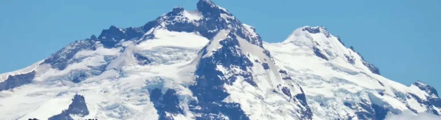
He Mount Tronador It is the highest mountain in Nahuel Huapi National Park, with 3,478 meters, and one of the most breathtaking sights in Patagonia. It lies on the border with Chile, covered in permanent snow and hanging glaciers, and owes its name to the thunderous sound of ice calving, which can be heard for miles around. At its base is the Black Glacier, the only black glacier in the region accessible by land, and the valley of Pampa Linda.
| Location | Argentine-Chilean border, Nahuel Huapi National Park, southwest of Bariloche |
|---|---|
| Height | 3,478 meters above sea level, the highest peak in the park |
| Access from Bariloche | Head south along the shores of Lakes Gutiérrez and Mascardi, and then through the Manso River valley to Pampa Linda |
| Distance | About 170 km round trip |
| final path | A one-way gravel road with fixed uphill and downhill times regulated by the National Park |
| Duration of the excursion | About 10 hours in total |
| Highlights | Pampa Linda, Ventisquero Negro viewpoint, hanging glaciers |
| How to visit it | Excursion to Cerro Tronador and Ventisquero Negro |
Where is Cerro Tronador located?
Mount Tronador rises on the border between Argentina and Chile, southwest of San Carlos de Bariloche. From the city, you can reach it by taking the road south, skirting the lakes. Gutiérrez y Mascardi, and then entering through the valley of Manso River up to Pampa Linda, the access point to the mountain.
The one-way street
The last stretch to Pampa Linda is gravel and one handThe National Park regulates fixed ascent and descent times. This restriction defines the day and applies to everyone going up, whether by private vehicle or on a tour. In winter, the road may be closed due to snow.
What to see at Cerro Tronador
Pampa Linda
An open valley surrounded by forest, with Mount Tronador dominating the horizon. It's the day's long stop, the place for lunch and taking photos, and the starting point for trekking trails to the high-altitude refuges and the Cloud Passage.
The Black Glacier
It's a regenerated glacierIce breaks off from the hanging glaciers on the summit, falls into the valley, and reforms below. In its descent, it carries so much rock and sediment that the surface is left completely dark. At its base, a lagoon formed with black icebergs, a sight unlike anything else in the region.
Hanging glaciers
From the valley, you can see the glaciers clinging to the walls of Mount Tronador and the waterfalls cascading down from the meltwater. If you're lucky, you might hear the thunder of a rockfall, the sound that gave the mountain its name.
Discover Mount Tronador with us
Day trip or trekking excursion
| Feature | Cerro Tronador and Ventisquero Negro | Cloud Passage |
|---|---|---|
| Duration | About 10 hours | Two days with overnight stay in a refuge or camp |
| Difficulty | Baja: almost everything by vehicle | Medium difficulty, requires mountain experience and good physical condition |
| Transfer | Included from your accommodation | Pampa Linda not included |
| Age | Suitable for all audiences | Over 18 years old |
| End | Return to Bariloche | The return journey involves sailing across Lake Frías and the Blest arm. |
| Excursion | View tour | View tour |
Best time to visit Cerro Tronador
| Season | Months | What to expect |
|---|---|---|
| Summer | Dec-Feb | Open road, long days, and trekking season. The best time. |
| Autumn | Mar-May | A forest with vibrant colors and fewer people. Colder in Pampa Linda. |
| Winter | June-August | The road to Pampa Linda may be closed due to snow: the departure will be rescheduled or refunded. |
| Spring | Sep-Nov | Snowmelt and waterfalls with good flow. There may be restrictions at the beginning of the season. |
Tips for visiting Mount Tronador
- Bring food and water: The gastronomic options along the way are limited; lunch is served in Pampa Linda.
- Layered coat: It's much colder at the glacier viewpoint than in Bariloche, even in summer.
- If you get dizzy: It's a long drive, mostly on gravel roads; bring medication.
- The weather rules: With overcast skies the summit may not be visible, but the Black Glacier and the valley can still be visited.
- Add another day of lakes: Mount Tronador can also be seen from the navigational area. Sadness Arm when the day is clear.
Frequently Asked Questions about Cerro Tronador
How tall is Cerro Tronador?
It is 3,478 meters high and is the highest mountain in Nahuel Huapi National Park.
Why is it called Tronador?
Because of the thunderous sound produced by ice calving from its hanging glaciers, which can be heard for miles around.
What is the Black Glacier and why is it dark?
It's a regenerated glacier: it forms from ice that falls from the summit glaciers and reforms in the valley. As it falls, it carries rock and sediment, which is why its surface is completely dark.
Why is the hike to Tronador so long?
Because the final stretch to Pampa Linda is a one-way gravel road with fixed entry and exit times regulated by the National Park. This forces you to wait for the designated window, and the journey takes about 10 hours.
Does the tour include transportation?
Yes. The Excursion to Cerro Tronador and Ventisquero Negro Includes transfer to and from your accommodation in Bariloche, with a bilingual guide. Meals are not included.
Is it possible to go to Mount Tronador in winter?
It depends on the route. In winter, access to Pampa Linda may be closed due to snow by decision of the National Park and Road Authority; in that case, the trip is rescheduled or refunded.